
Trace Hyde Park Streets by Address
The useful public trail begins with a structure address, not a guessed household list. Dutchess County’s Address Info Finder can normalize the situs, or property, address and identify its municipality. ParcelAccess then connects that mapped point to a parcel number, its legal location, assessment material, and a possible deed book and page. An owner’s primary mailing address is a different field. It shows where tax correspondence is sent, not a statement of current physical presence.
- Enter the complete address in the Dutchess Address Info Finder and save the standardized structure address, municipality, ZIP, and report link.
- Search that address in Dutchess ParcelAccess, narrowing the municipality to Town of Hyde Park when needed. Record the parcel number and parcel location before searching a name.
- Open the full property card. Compare the mapped situs, owner name, primary owner mailing address, last transfer, and deed book or page without blending those fields together.
- Use the owner and legal details in the Dutchess County Clerk Document Search. Limit by deed type, Town of Hyde Park, and a plausible recording date.
- For an older address clue, consult the DCHS catalog and preserve the printed year. The public voter tool is for confirming one identified voter, not for making a street roster.
That sequence separates a public ownership trail from a claim about every person on a street. It also leaves a clear record of the date and source used for each step.
Hyde Park Street Directory Fields
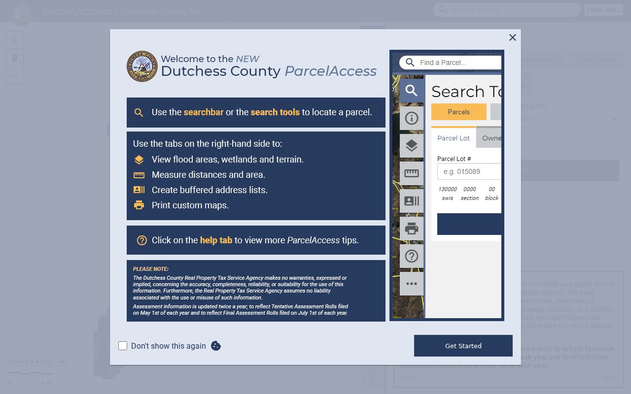
ParcelAccess is the main address screen for a Hyde Park street directory search. Its Parcels, Sales, Assessments, and Filed Maps tabs lead to different record types, so a street hit is only the starting point. The Address route accepts number, directional prefix, street, directional suffix, street type, and municipality. A partial street can help when an older form differs, although a broad query may return too many results for the map to show.
| ParcelAccess field | How it is used | Local caution |
|---|---|---|
| Number and Street | Locates a structure address | Use the mapped situs form, not a tax mailing address |
| Predir, Postdir, Suffix | Refines a street name | Try the visible street form before broadening |
| Municipality | Narrows results to Town of Hyde Park | Postal labels do not set the municipal boundary |
| Owner name | Provides a separate owner-search route | First or last name is required in substance |
| Parcel Lot number | Finds a legal parcel directly | A parcel lot is not a house number |
The ParcelAccess search screen shows the separate parcel, sales, assessment, and filed-map modes used in this workflow.
Once a result is selected, the map can lead to the card and related records, but its measurement tool is not survey-grade and does not establish a legal boundary.
Read a Hyde Park Parcel Card
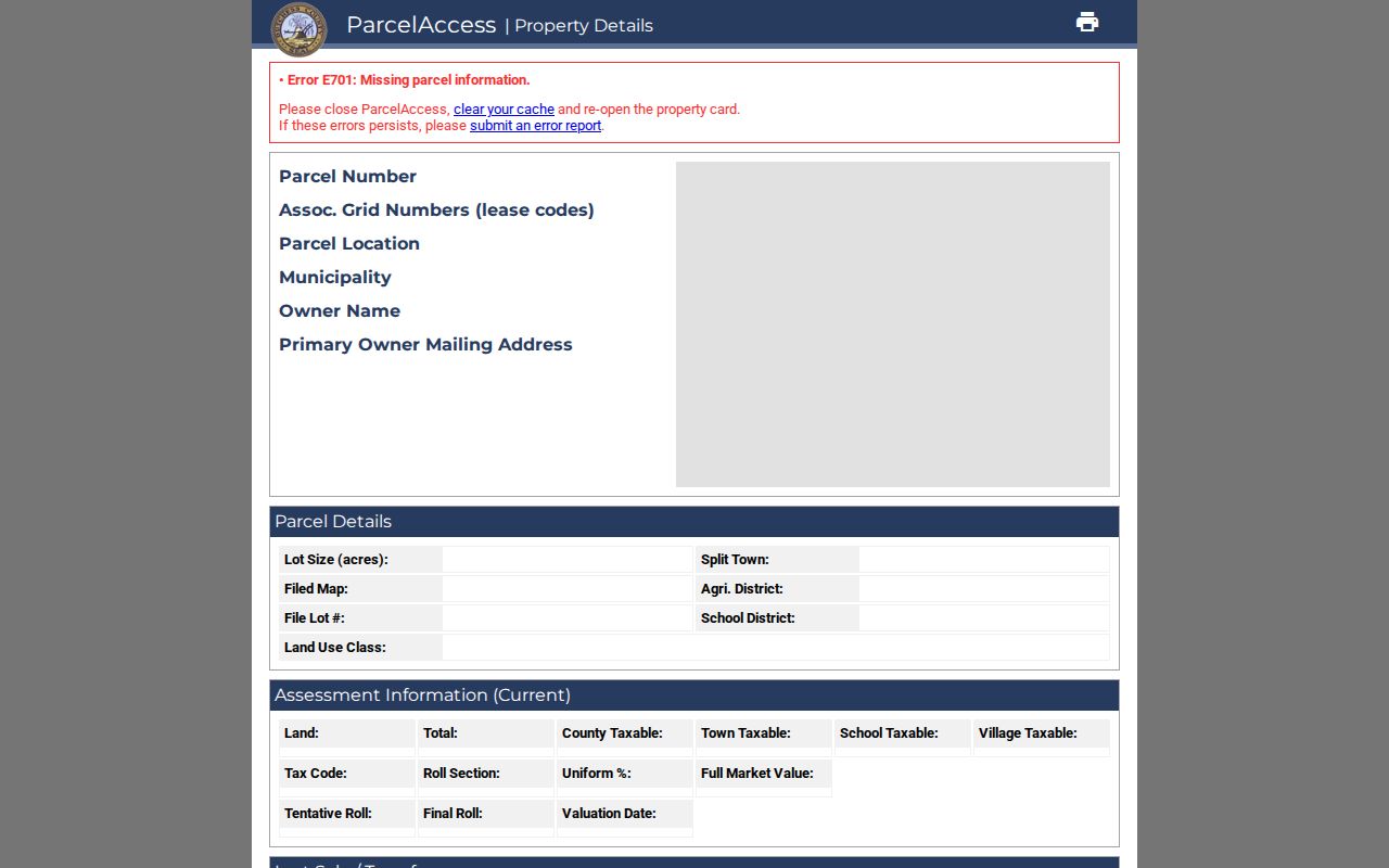
A parcel card helps keep Hyde Park address evidence organized. It can show the parcel number, associated grid numbers, parcel location, municipality, owner name, primary owner mailing address, lot size, assessment, market value, school district, tax code, deed book and page, parcel history, and filed-map links. Its last sale or transfer may give a date, price, sale condition, and number of parcels. A transfer is a land event, not a full occupancy history.
- Parcel
- A defined piece of land in the county tax and mapping system, identified separately from a street number.
- Situs address
- The mapped location of the structure or parcel. It can differ from the owner’s correspondence address.
- Plat or filed map
- A recorded subdivision or land map that can connect lots, boundaries, and older legal references.
- Criss-cross directory
- A historical directory arranged by address or street, useful only as evidence for its printed year.
The ParcelAccess property-card example shows why the card should be read beside the map rather than as a standalone statement about a household.
Assessment figures and exemptions are useful context, but the card itself says it is not a title search or survey. Confirm title and boundaries through the County Clerk and the proper professional route.
Hyde Park Street Directory Address Types
A mapped parcel location and a primary owner mailing address answer different questions. ParcelAccess puts both on the same card, which makes it easy to confuse a correspondence destination with the situs of the land. Use the structure address to locate the parcel and map record. Label the mailing address precisely as the place where the tax notice is directed. Neither field establishes a complete household list or a person’s current physical presence.
This distinction matters most when an owner has an out-of-town mailing address, a parcel is vacant, or one address contains more than one structure. A careful street-by-street record notes the field label before drawing any conclusion from it.
Hyde Park Street Directory Sources
No one record answers every address question. The address-keyed sources below have distinct time frames and limits. Linking a street to a parcel, then to a legal description, is more reliable than relying on a name alone. When an online route is silent, the next choices are the relevant office counter, a narrow records request, the DCHS rooms, or a dated collection rather than an assumption that no Hyde Park record exists.
| Address source | Keeper | What it can show | Access route |
|---|---|---|---|
| Address Info Finder | Dutchess County GIS | Structure address, ZIP, municipality, districts, ParcelAccess link | Free online, situs only |
| Parcel card and rolls | Real Property Tax Service Agency | Owner, mailing address, parcel, assessment, transfer clues | Free map and roll PDFs; May 1 tentative and July 1 final cycle |
| Town tax bill | Hyde Park Receiver | Bill, tax map, property address, owner, collection clue | Free BAS search |
| Deed index and image | Dutchess County Clerk | Parties, legal description, book or page, recording date | Online index; copies through the Clerk |
| Permit or variance file | Hyde Park Building and Zoning | Public application or file details, if available | Forms online; targeted review or FOIL |
| Historical directory | DCHS and library resources | Dated address or occupant clue | Catalog and reading-room research |
Hyde Park tax bills can be searched by collection, bill number, tax map number, property address, or owner name. The assessment roll is another free source, although a common name or a spelling change can create false hits.
Check Hyde Park Address Reports
Address Info Finder is a useful first pass when the postal city, town name, and mapped location appear to disagree. Its basic and advanced search routes use Number, Predir, Street, Postdir, Suffix, and Municipality, then return Address, Municipality, ZIP, and a report. That report links to legislative, election, school, and emergency-agency information as well as ParcelAccess. It reports the structure address, not an owner mailing address.
Use the Address Info Finder before treating a Hyde Park postal label as a town boundary.
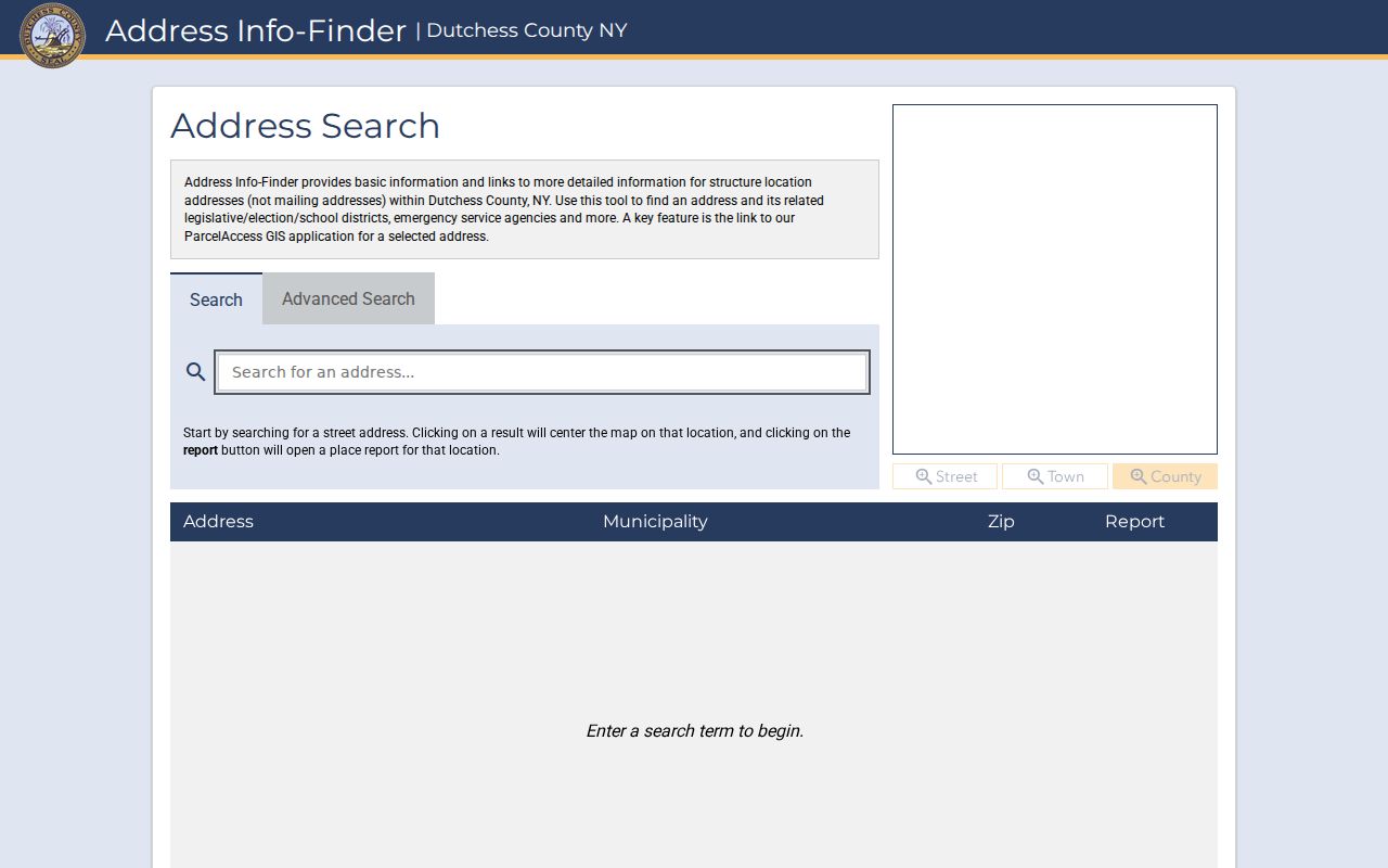
The report is a bridge between a street search and the parcel map. It does not certify a resident, ownership, or mailing destination.
Follow Hyde Park Street Deeds
After ParcelAccess supplies a current owner and deed clue, search the County Clerk index by party name, choose Town of Hyde Park, select a deed, and narrow the recorded date where useful. The index supports Party Name, Type, Year, document number, liber, page, municipality, party type, date recorded, comment, and complement name. It ignores capitalization, spaces, and special characters, but the Clerk advises searching spelling variants and gives no accuracy guarantee.
Read the deed image when available. A legal description may refer to a lot, subdivision, acreage, adjoining owner, road, or creek instead of the current number. Follow a prior deed reference, or search the seller as an earlier grantee. Online deeds reach July 7, 1907. Older work moves to the County Clerk Record Room, deed books, DCHS, and other historical resources. Images can be viewed online without charge; downloaded or printed copies are $0.50 per page, while certified copies are a separate office transaction.
Note: A street address is a useful finding aid, but the legal description is the link that can carry a Hyde Park parcel across changed address forms.
Use Hyde Park Filed Maps
When a number disappears from an older deed, filed maps can connect a street directory search to the land underneath it. ParcelAccess offers Filed Maps and links from the property card, while the County Clerk keeps the recorded map trail. Compare lot labels, subdivision names, acreage, and adjoining parcels with the deed description. Map geometry can also show why a road, creek, or non-addressed strip separates parcels that seem next door on an aerial image.
ParcelAccess includes nearby-parcel geometry, parcel annotations, aerials, terrain, lot lines, and a print tool. Those layers help identify the next parcel to inspect. They do not replace the recorded map or a legal survey.
Historic Hyde Park Street Listings
For an older occupant clue, the Dutchess County Historical Society Book and Research Locator is the local starting point. Its holdings include Vail Poughkeepsie directories from 1871–72 through 1881–82 and 1890–91; LeRay and other Dutchess County volumes in the 1890s; Lippman’s Dutchess County Directory for 1901–05; and Poughkeepsie, Hyde Park, and Pleasant Valley telephone directories for 1950–51. A county or Poughkeepsie volume may include Hyde Park entries, but it is not a complete Hyde Park-only run.
Where a street-side or criss-cross arrangement exists, copy the spelling, number, publisher, and year exactly. The historical collections themselves are cataloged in the Hyde Park city directories; use them here as dated address evidence, not as a current street list.
Hyde Park Street Names Change
Old records do not always use today’s address language. Hyde Park was part of Clinton until 1821, and settlement references to Stoutenburgh or Staatsburg can precede the Hyde Park name. A deed or directory can also use Albany Post Road, Market Street, Crum Elbow, a hamlet, a landmark, or a water feature rather than a modern route number. Route 9 and Albany Post Road are especially important alternate terms in the historic hamlet.
Use the old form as a search vocabulary word, then compare it with the parcel’s municipality, legal description, and map. This avoids forcing an older source into a modern ZIP or street-number pattern it never used.
Limits of Hyde Park Street Directories
A street directory cannot establish every person connected with an address. Parcel records are chiefly about land and ownership. A primary mailing address is correspondence information. The public New York voter lookup requires a known voter’s last name, first name, date of birth, county, ZIP, and address, so it does not provide a browseable street list. It may confirm a matching voter’s registration or poll information, but protected records remain protected.
DMV addresses, utility-customer lists, and private delivery information are not public street-directory sources. Confidential voter records under Election Law §5-508 and physical addresses protected through New York’s Address Confidentiality Program must not be inferred from a map or an absence of a search result.
Lawful use. Hyde Park address records are best used for personal research, family history, estate questions, or checking a specific public record. Do not use them to stalk, harass, or harm anyone.